Main Features
- Automatically detect, monitor, and inspect geospatial images using AI agents
- Train custom AI models without programming knowledge or deep AI expertise
- Support user-defined annotations to detect any visible objects in images
- Provide Analytics dashboard and AI model prediction/detection capabilities
Target Users
Users from various industries including government institutions, construction, renewable energy, agriculture & farming, risk management, oil & gas, forestry & ecotechnology, port operations, mining, and smart cities
Core Advantages
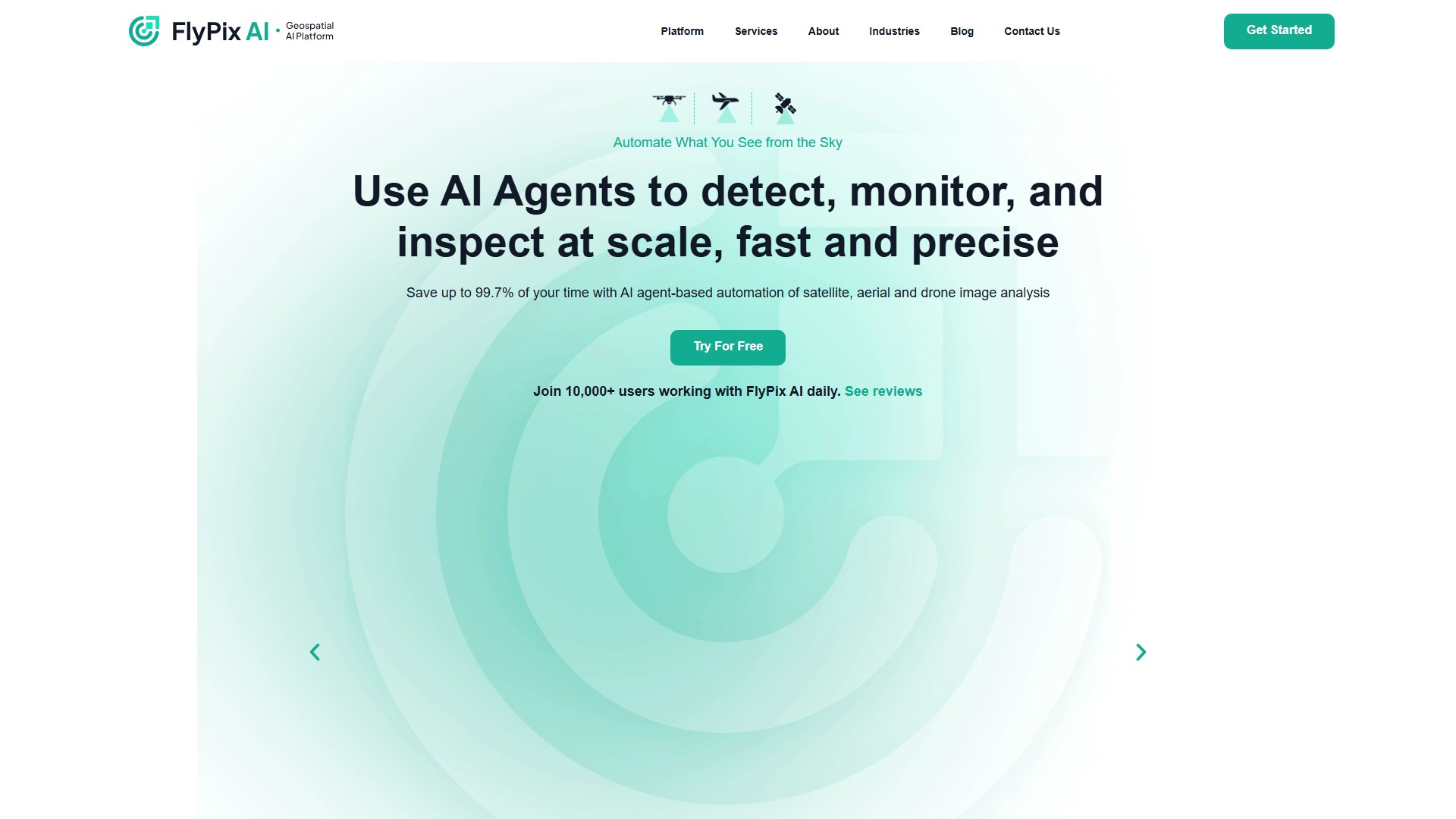
- Save 99.7% of time (from hundreds of seconds for manual annotation to 3 seconds for AI annotation)
- No programming or deep AI knowledge required
- Suitable for analyzing complex and dense scenes
- Quickly identify and outline numerous objects in geospatial images
- Basic (Free): 3GB storage, 10 credits, limited support
- Starter (€50/month): 10GB storage, 50 credits/month, process 1 gigapixel
- Standard (€500/month): 120GB storage, 500+100 credits/month, process 12 gigapixels
- Professional (€2000/month): 600GB storage, 2000+1000 credits/month, process 60 gigapixels, includes API access and expert support
Typical Use Cases
- Construction automation
- Port operations monitoring
- Agricultural monitoring
- Infrastructure maintenance
- Environmental protection and forestry management
- Land use classification
- Government institution applications
Supported Data Types
- Multispectral data
- Satellite images
- Aerial images
- Drone images
- 수집 시간:2025-09-16
-
가격 모델:
Freemium
Paid
#생산성
#연구
Freemium
Paid
Website
App